

After a stretch of windstorms over the past couple weeks, it appear parts of Vancouver Island could see the first snowfall of 2019.
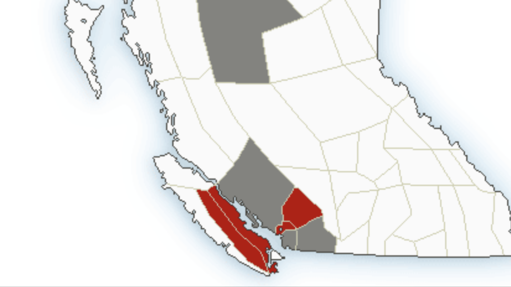
Environment Canada has issued a special wet snow weather statement for parts of Vancouver Island.
The alert is in effect for the following areas:
- Malahat Highway – Goldstream to Mill Bay
- Inland Vancouver Island
- East Vancouver Island – Courtenay to Campbell River
- East Vancouver Island – Duncan to Nanaimo
- East Vancouver Island – Nanoose Bay to Fanny Bay
Snowfall with total amounts of 5 cm near the coast are expected today and 10 to 20 cm inland is expected by Wednesday morning.
The heaviest snow is expected over higher terrain and locations away from the water.
“An approaching Pacific frontal system will spread precipitation across Vancouver Island today. A cool air mass currently over the region means that precipitation will begin as snow this morning. Snow is expected to continue through the day as snow levels remain near sea level, though near the water snow may become mixed with rain in the afternoon,” said Environment Canada.