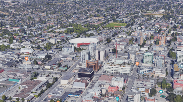
Here’s a cool Google feature that not many people know about!
Last year, the tech conglomerate launched a 3D feature on Google Maps through which users can view entire sections of any city or town in 3D, instead of having to hone in on specific roads and alleys through Street View.
While this feature is only available on desktop, a larger screen is the best way to take advantage of it anyway.
Here’s how to scan Victoria in 3D:
- Visit the Google Maps website
- Pop in an address, street name, or landmark – it doesn’t have to be too specific
- Click on the square box that says “Satellite” on the bottom left corner of the screen
- Hold down the ‘Control’ key on your computer (this applies to both PC and Mac users)
- Click on the screen and drag the mouse up to tilt it into 3D mode.
Now you’re ready to play with the feature!
You can zoom in, zoom out, travel to different parts of the city, and maybe discover some new places you’d like to visit – all from the comfort of your couch.
Where will you go first?


