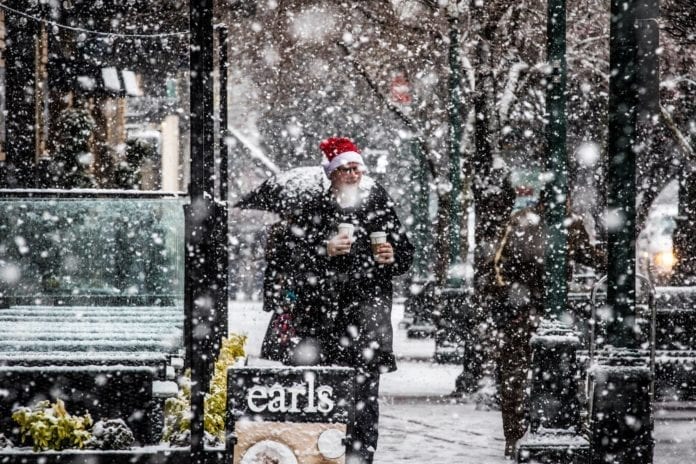
Just when we thought we saw the last snow, Environment Canada has issued a special weather statement saying more snow is likely for the south coast this weekend.
A cold and unsettled air mass will begin to settle over the south coast late Friday and remain in place through the weekend.
Freezing levels are expected to lower to near sea-level at times.
The potential for snow will begin Friday night and increase for Saturday and Sunday as an area of low pressure develops off the west coast of Vancouver Island.
Showery precipitation is usually intermittent but can change quickly. While often light and brief it can produce areas of heavy flurries. Variable snowfall accumulations across the region can be expected with this unsettled pattern.
Environment Canada says temperatures should return to near seasonal values early next week.
In the meantime, don’t put your snow shovels away just yet.


