
Rain, rain and more rain.
That’s the forecast this week with most of Vancouver Island under a rainfall warning.
Environment Canada has issued a rainfall warning for the majority of Vancouver Island, which includes the west coast, east coast, and inland areas.
Heavy rain fall is expected to hit Tuesday afternoon and last through Wednesday night.
According to the weather agency, a strong southwest flow will develop on Tuesday and result in an atmospheric river impacting the south coast of British Columbia.
Snow levels are also expected to rise to between 1,500 to 2,000 metres. Some snowmelt at low levels will contribute to a runoff which may result in high stream levels and localized flooding as well.
According to meteorologist Tyler Hamilton, many regions in BC could hit their monthly rainfall averages by Thursday.
Victoria could see 20mm to 30mm through the week with Sidney expected to see up to 75mm of rain for the same time period.
These forecast amounts would typically cause some flooding, regardless of the enhanced snowpack in situ across lower terrain. Temperatures have been below average since Dec. 23rd, allowing snowpack at lower terrain to accumulate. (2/4) pic.twitter.com/oSZ8TdCEs5
— Tyler Hamilton (@50ShadesofVan) January 9, 2022
“Heavy rain will develop later Tuesday as the first of several systems embedded in the flow arrives. Heavy rain will redevelop at times through Wednesday night as other systems arrive,” reads Environment Canada’s warning.
“Snow levels will rise to between 1500 to 2000 metres. Some snowmelt at low levels will contribute to runoff which may result in high stream levels and localized flooding.”
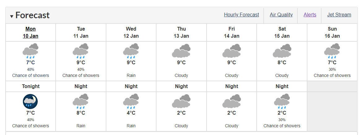
You can see the 7-day weather forecast for Victoria below: