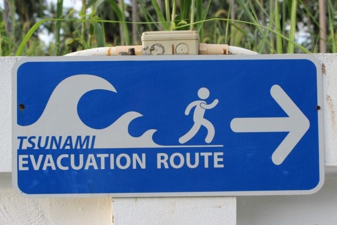
The BC government and Capital Regional District (CRD) have launched an online portal for tsunami safety and awareness.
The portal is meant for both residents of Vancouver Island and visitors to remain safe in the event of a tsunami.
The portal is also home to an interactive map, providing information on tsunami hazard zones.
Do you know if you frequent Tsunami Hazard Zones in the capital region? Find out at https://t.co/NpcQVNrcD0 so you can plan now to act later. #yyj #preparedness #preparenow #BCearthquake #earthquake #BCtsunami #tsunami #evacuation pic.twitter.com/Qm9Nyk0zJm
— CRD (@crd_bc) September 20, 2022
The new website claims, “although tsunamis are rare, it is important to understand the impact of a tsunami in the capital region and what to do in the event of a tsunami warning.”
The portal’s main feature is an interactive map that outlines the at-risk areas.
The map’s source data comes from the arrival times of 11 tsunamis as well as five detailed inundation models for Victoria, Sidney, Saanich, Esquimalt, Oak Bay, Port Renfrew and Sooke.
It also features a tsunami preparedness information tab with a wealth of knowledge for how to be prepared, what to do in the case of a tsunami, information on classifications of tsunamis and what to do after a tsunami.
Prior to this information portal, the 13 municipalities that make up the CRD all had their own form of tsunami preparedness resource on their individual websites.
The creation of this portal combines the information to have a more centralized hub for visitors and residents alike to be as prepared as possible for the event of a tsunami in Greater Victoria.


