
Snow is coming down across Vancouver Island as Environment Canada predicted.
On Vancouver Island that means wet, slippery snow that makes for dangerous driving conditions.
BC Transit routes are delayed and the special weather statement provided by Environment Canada says that snow can be expected through the week.
Collisions are bound to happen in weather like this and that affects everyone’s commutes as they traverse the snow covered highways and city streets.
Highway 1, Highway 17 and Sooke Road (Highway 14) can be especially dangerous.
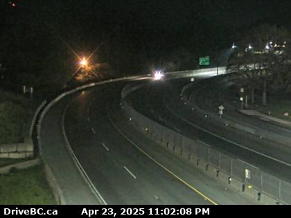
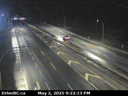
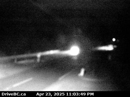
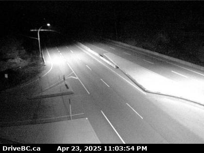
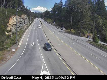
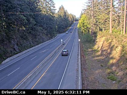
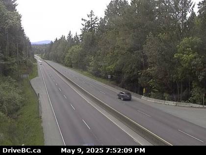
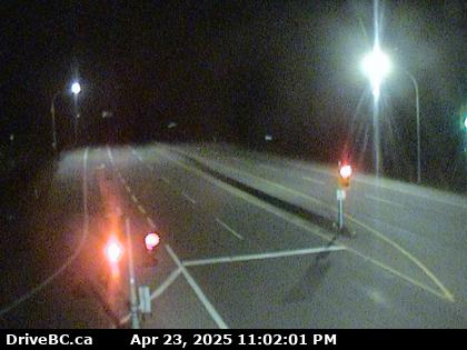
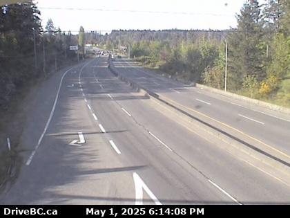
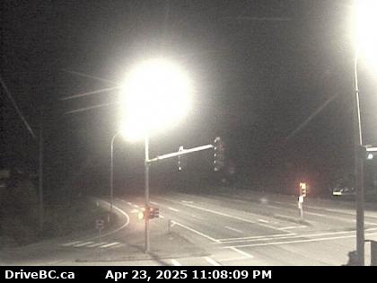
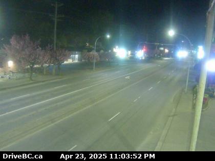
If you’re concerned of the road conditions before heading out, here are the latest images from DriveBC on the highways with a high frequency of commuters—these images will update every 15 minutes:
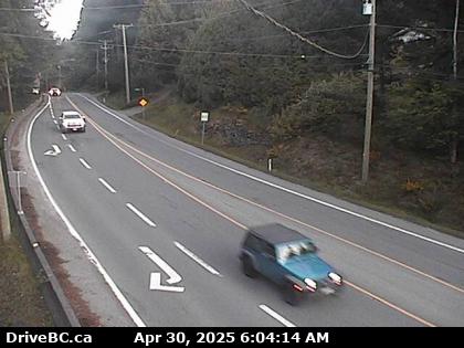
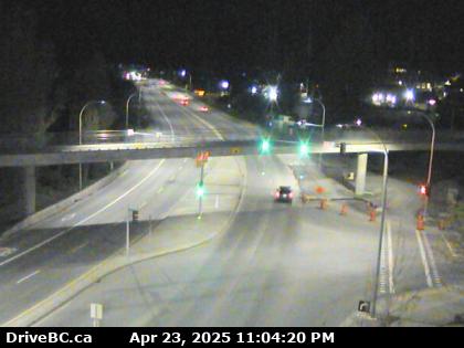
Highway 17 at Mount Newton X Road (N camera):
Highway 17 at Sayward Road near Elk Lake (S camera):
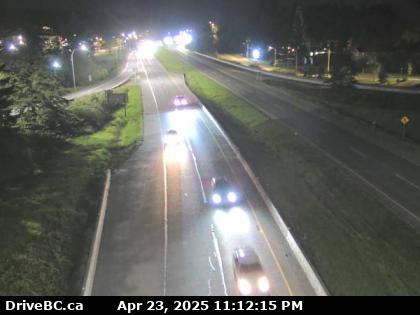
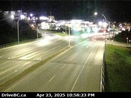
Highway 17 at Royal Oak Drive (N camera):
Highway 17 at Carey Road in Saanich (NW camera):
Highway 1 at Admirals Road and McKenzie Avenue (W camera):
Highway 1 near Burnside Road and Island Highway exit (W camera):
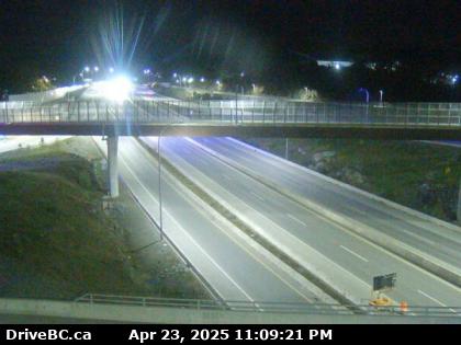
Millstream Road at Highway 1 overpass (N camera):
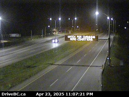
Highway 1 at Spencer Road (W camera):
Highway 1 at West Shore Parkway (W camera):
Highway 1 at Goldstream Park (N camera):
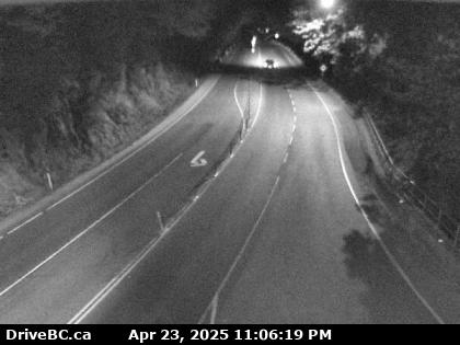
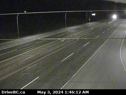
Highway 1 at Tunnel Hill (N camera):
Highway 1 at Okotoks Drive (N camera)
Highway 1 at Malahat Drive (N camera):
Highway 1 at Malahat Summit (N camera):
Highway 1 near Mill Bay Road, Bamberton Park entrance (N camera):
Highway 1 at Butterfield Road (N camera):
Highway 1 at Shawnigan Mill Bay Road, Mill Bay (N camera):
Highway 1 at Cobble Hill Road (S camera):
Highway 1 and Trunk Road in Duncan (S camera):
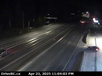
Highway 1 at South Davis Road, south of Ladysmith (S camera):
Sooke Road (Highway 14) at Suyer Road (W camera):
Sooke Road (Highway 14) at Kangaroo Road (W camera):